Revamping Crop Data Collection by E-technology - Agriculture Allied Sector | UPSC Learning
Topics
0 topics • 0 completed
🔍
No topics match your search
Revamping Crop Data Collection by E-technology
Medium⏱️ 6 min read
agriculture allied sector
📖 Introduction
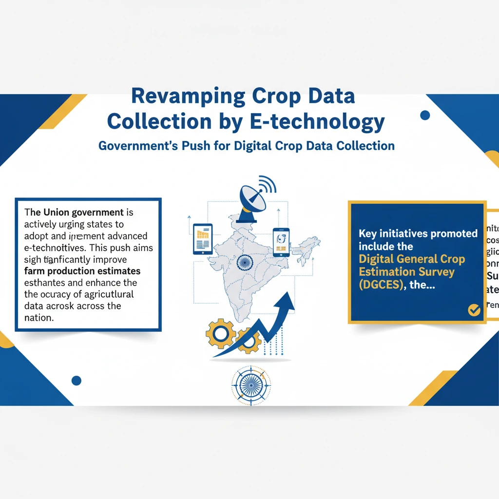
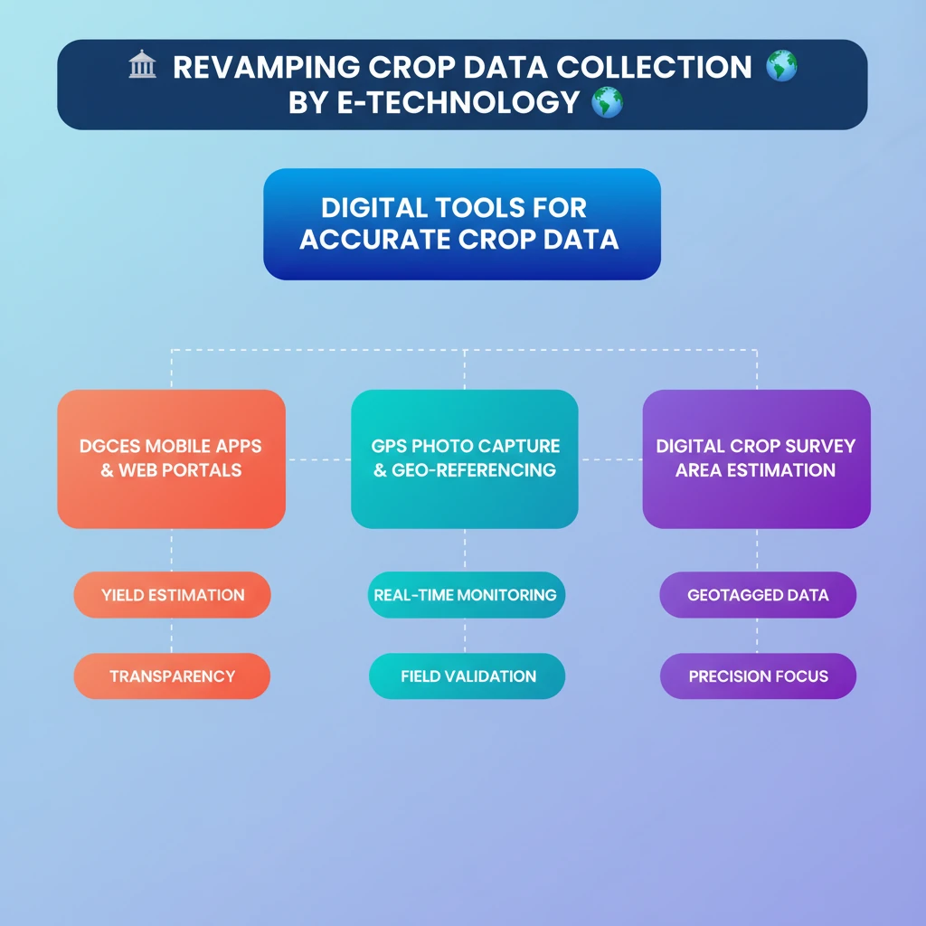
<h4>Government's Push for Digital Crop Data Collection</h4><p>The <strong>Union government</strong> is actively urging states to adopt and implement advanced e-technology initiatives. This push aims to significantly improve <strong>farm production estimates</strong> and enhance the overall <strong>accuracy of agricultural data</strong> across the nation.</p><div class="key-point-box">Key initiatives promoted include the <strong>Digital General Crop Estimation Survey (DGCES)</strong>, the <strong>Digital Crop Survey</strong>, and the <strong>Revamped FASAL Programme</strong>.</div><h4>Digital General Crop Estimation Survey (DGCES)</h4><p>The <strong>Digital General Crop Estimation Survey (DGCES)</strong> is a crucial nationwide initiative. It leverages a dedicated <strong>mobile app</strong> and a comprehensive <strong>web portal</strong> to assess crop yields efficiently and improve agricultural practices throughout India.</p><div class="info-box"><strong>Primary Aim:</strong> To calculate crop yields based on scientifically designed <strong>crop cutting experiments</strong> for all major crops across the country.</div><p>This survey incorporates several advanced features to ensure transparency and accuracy in data collection.</p><ul><li><strong>GPS-enabled photo capture:</strong> Records precise location data with visual proof.</li><li><strong>Automated plot selection:</strong> Streamlines the selection process for unbiased data collection.</li><li><strong>Geo-referencing:</strong> Ensures that data points are accurately mapped to their geographical locations.</li></ul><h4>Digital Crop Survey and its Key Features</h4><p>The <strong>Digital Crop Survey</strong> is a technology-driven initiative specifically designed to provide detailed and highly accurate crop data through digital means. Its primary objective is to enhance the precision of <strong>crop area estimation</strong> and other related agricultural statistics.</p><div class="key-point-box">This survey moves away from traditional manual methods, embracing digital tools for superior data integrity and efficiency.</div><p>Key features of the Digital Crop Survey include:</p><ul><li><strong>Geotagged Data:</strong> Utilizes <strong>geotagging</strong> to record the exact locations of crop plots. This ensures highly accurate measurement of crop areas.</li><li><strong>Digital Documentation:</strong> Employs various digital tools and platforms for comprehensive data collection. This significantly reduces reliance on manual processes, minimizing errors and improving speed.</li></ul><div class="exam-tip-box">Understanding the distinction between <strong>DGCES</strong> (yield estimation) and <strong>Digital Crop Survey</strong> (area estimation) is crucial for UPSC Mains answers, especially in <strong>GS-III Agriculture</strong>.</div>
💡 Key Takeaways
- •Government is promoting digital tools for accurate crop data.
- •DGCES uses mobile apps and web portals for crop yield estimation.
- •DGCES features GPS-enabled photo capture and geo-referencing for transparency.
- •Digital Crop Survey focuses on precise crop area estimation.
- •Geotagged data is a key feature of the Digital Crop Survey.
- •The initiatives aim to reduce reliance on manual methods and improve data accuracy.
- •Better data leads to informed policy-making and farmer welfare.
🧠 Memory Techniques

100% Verified Content